Rangecam allows several levels of territory, such as track, subdivision, division, or the entire railroad. Every level can have one or many different territory types, e.g. division level can be Service Unit, or Division or a mix of types. Every territory has its own name and can be selected as a territory of interest.
For example, when a territory is selected for viewing on the map, the map window is reinitialized and centered on the selected territory. The runs that appear in the Run Select dialog are restricted to those that belong to or cross the currently selected territory. Selecting a subdivision makes it easier to find and work with test data from that subdivision.
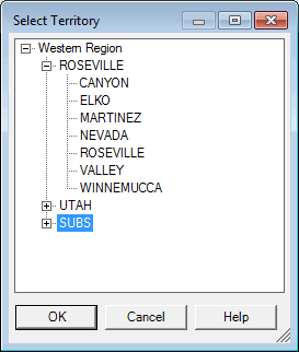
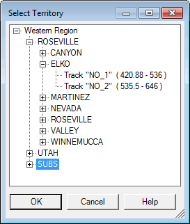
The Select Territory dialog presents the railroad, its divisions, subdivisions, and tracks as a hierarchy. Click on the + symbol for the railroad or a division to display the territories within it, or the - symbol to hide the detail. A territory may be selected at any level by clicking on its name to highlight it, then clicking OK, or simply by double-clicking on the name.
Select Territory Dialog with different selection abilities:
left - any territory down to subdivision is selectable, right - down to track level.
Selection of territory can be done through the Select Territory dialog shown above or through similar controls embedded in other dialogs, such as Calculate All. The hierarchical tree depends on the application. In some places, the user is allowed to select only the track, in which case the dialog is called Select Track. In other places, only levels down to subdivisions are available.
Items that appear in grey are not available for selection. For example, if a database has a subdivision without GPS data it cannot be shown on the map and this subdivision is disabled for map application.